tool
Conquer the Heights: Master Mountain Weather Prediction for Ultimate Hiking Safety
Don't let unpredictable mountain weather ruin your hike! Learn expert techniques, essential tools, and crucial safety measures for high-altitude adventures. Plus, find peace with insights from a Christian perspective.
Ignoring mountain weather forecasts is like playing Russian roulette – eventually, you'll lose. As a mountain safety instructor, I've witnessed firsthand the devastating consequences of inadequate preparation. In fact, studies show that over 60% of mountain accidents are weather-related, a statistic that chills me to the bone. But here's the good news: proper weather monitoring and preparation can prevent up to 80% of these incidents. That's why I'm so passionate about equipping hikers like you with the knowledge and tools you need to stay safe and enjoy the majesty of the mountains.
In this article, I'll share my expert strategies for predicting and managing mountain weather conditions safely. We'll scrutinize essential weather tools, scour into mountain meteorology, discuss crucial safety equipment, and much more. And, as a believer, I'll also weave in some reflections on how understanding the power and unpredictability of nature can deepen our faith.
Essential Weather Tools
Choosing the right weather tools is paramount for any high-altitude trek. It’s not just about knowing if it will rain; it's about understanding the nuances of mountain weather, where conditions can change drastically in minutes. I've seen hikers rely on outdated or inadequate equipment, only to be caught in dangerous situations. My experience has taught me that investing in reliable weather tools is an investment in your safety and peace of mind.
The equipment should be able to give you up-to-date and accurate weather forecasts. It's also important to ensure that your equipment is able to withstand the harsh conditions of the mountains.
Equipment Comparison Matrix
This matrix provides a general guideline, but it's crucial to research specific models and brands to find the best fit for your needs. For example, a basic barometer might suffice for lower altitudes, but a high-altitude expedition demands a professional-grade device with satellite connectivity. Remember, accuracy is key, and a few feet of error can make a significant difference in mountainous terrain.
"The heavens declare the glory of God; the skies proclaim the work of his hands." - Psalm 19:1. This verse reminds us of the awe-inspiring power and intricate design of nature.
Weather Patterns
1. Mountain Meteorology

Mountain meteorology is a complex science, but understanding its basics can significantly improve your safety and enjoyment in the mountains. Unlike flatland weather, mountain weather is influenced by factors like altitude, terrain, and aspect (the direction a slope faces). These factors create unique weather patterns that require specialized knowledge to interpret.
Key Indicators:
-
Cloud Formations:
- Lenticular clouds: These lens-shaped clouds often indicate strong winds at high altitudes. I once ignored a lenticular cloud formation and ended up battling gale-force winds for hours, a lesson I'll never forget.
- Storm indicators: Towering cumulonimbus clouds are a clear sign of potential thunderstorms. Pay close attention to their development and direction of movement.
- Weather tools
-
Wind Patterns:
- Updrafts: These rising air currents can be both helpful and dangerous. While they can provide lift for paragliders, they can also create turbulence and contribute to rapid weather changes.
- Valley winds: These winds are driven by temperature differences between valleys and mountains. During the day, warm air rises from the valley, creating an upslope wind. At night, the process reverses, creating a downslope wind.
- Storm approach: Keep an eye out for sudden shifts in wind direction and increases in wind speed, as these can indicate an approaching storm.
2. Altitude Effects
Altitude plays a significant role in mountain weather. As you ascend, the air becomes thinner, temperatures drop, and the risk of weather-related hazards increases. Understanding these effects is crucial for proper preparation and decision-making.
This table illustrates the drastic impact of altitude on temperature and weather risk. At higher elevations, the temperature drops more rapidly, and the risk of hypothermia, frostbite, and altitude sickness increases significantly.
One time, a group I was guiding underestimated the temperature drop at 12,000 feet. Several members suffered mild hypothermia, and we had to cut our trip short. It was a stark reminder of the importance of accurate temperature forecasting and appropriate clothing.
Safety Equipment
1. Navigation Tools
In the wilderness, navigation is your lifeline. Relying solely on technology can be a fatal mistake. I always advocate for a multi-layered approach, combining GPS devices with traditional tools like maps and compasses.
Essential Gear:
-
GPS Devices:
- Satellite connectivity: Ensure your GPS device has reliable satellite connectivity, even in remote areas.
- Altitude tracking: Accurate altitude tracking is crucial for monitoring your progress and avoiding altitude sickness.
- Navigation systems
-
Backup Systems:
- Paper maps: Learn how to read topographic maps and use them to navigate in conjunction with your GPS device.
- Compass: A compass is a reliable backup in case your GPS fails or loses signal.
- Emergency touchstone: A personal locator guidepost (PLB) or satellite messenger can be a lifesaver in an emergency.
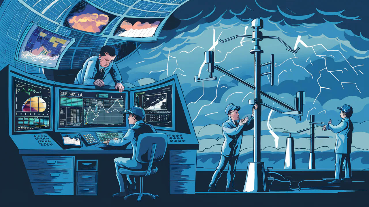
2. Weather Monitoring
Each of these devices plays a critical role in monitoring weather conditions. A barometer measures atmospheric pressure, which can indicate approaching storms. An anemometer measures wind speed, which is essential for assessing the risk of windchill and high winds. A thermometer measures temperature, which is crucial for preventing hypothermia and frostbite. And a hygrometer measures humidity, which can affect your comfort and hydration levels.
Planning Tools
1. Forecast Analysis
Don't just glance at the forecast; analyze it. Understanding the nuances of weather forecasts can make all the difference between a successful hike and a dangerous situation.
Key Features:
-
Data Sources:
- Satellite imagery: Satellite images provide a comprehensive view of weather patterns and cloud formations.
- Local stations: Local weather stations provide real-time data on temperature, wind speed, and precipitation.
- Weather forecasts
-
Interpretation Tools:
- Pattern recognition: Learn to recognize common weather patterns and their potential impacts.
- Trend analysis: Track weather trends over time to anticipate changes and potential hazards.
- Risk assessment: Assess the risks associated with different weather conditions and make informed decisions.
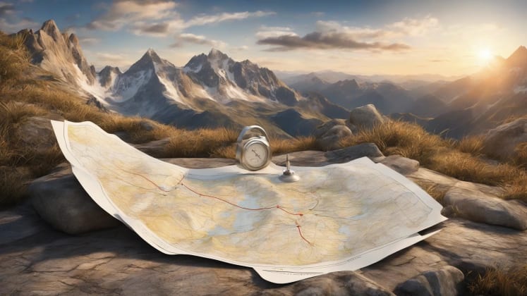
2. Route Planning
Route planning is not just about finding the shortest path; it's about choosing the safest path, considering potential weather hazards.
I once had to reroute a group due to an unexpected thunderstorm. By quickly descending below the treeline, we avoided a potentially dangerous situation. It was a testament to the importance of flexible route planning and proactive decision-making.
Emergency Preparedness
1. Weather Shelters
Having a reliable weather shelter can be a lifesaver in an emergency. Whether it's a temporary bivvy sack or a natural rock formation, having a place to escape the elements is crucial for survival.
Protection Options:
-
Temporary Shelters:
- Emergency bivvies: These lightweight shelters provide essential protection from wind and rain.
- Storm shelters: More robust storm shelters offer greater protection and can accommodate multiple people.
- Emergency gear
-
Natural Options:
- Rock formations: Overhanging rock formations can provide natural shelter from rain and wind.
- Tree cover: Dense tree cover can offer limited protection from the elements.
- Snow caves: In snowy conditions, snow caves can provide excellent insulation from the cold.
2. Communication
Maintaining communication is essential in an emergency. Be aware of the limitations of each communication method and choose the best option based on your location and the weather conditions.
Professional Tips
1. Weather Signs
-
Natural Indicators:
- Cloud patterns: Learn to recognize cloud patterns that indicate approaching storms or changing weather conditions.
- Animal behavior: Animals often exhibit changes in behavior before a storm. Pay attention to their movements and activity levels.
- Wind changes: Sudden shifts in wind direction or increases in wind speed can indicate an approaching storm.
-
Technical Readings:
- Pressure trends: A rapid drop in barometric pressure is a strong indicator of an approaching storm.
- Temperature shifts: A sudden drop in temperature can indicate an approaching cold front.
- Humidity changes: A sudden increase in humidity can indicate an approaching rainstorm.
2. Decision Making
Never underestimate the power of good decision-making. Your ability to assess risk and make informed decisions can be the difference between a safe hike and a dangerous situation.
I once had to make the difficult decision to turn back just a few hundred feet from the summit due to deteriorating weather conditions. While it was disappointing, it was the right decision, and we all made it home safely.
Training Resources
1. Educational Materials
Knowledge is power. Invest in your education and learn as much as you can about mountain weather and safety.
Learning Tools:
-
Online Courses:
- Weather basics: Learn the fundamentals of meteorology and how weather patterns form.
- Pattern recognition: Develop the ability to recognize common weather patterns and their potential impacts.
- Training programs
-
Field Practice:
- Guided sessions: Participate in guided hikes and learn from experienced mountaineers.
- Scenario training: Practice responding to different weather scenarios in a controlled environment.
- Skills assessment: Assess your skills and identify areas for improvement.
Frequently Asked Questions
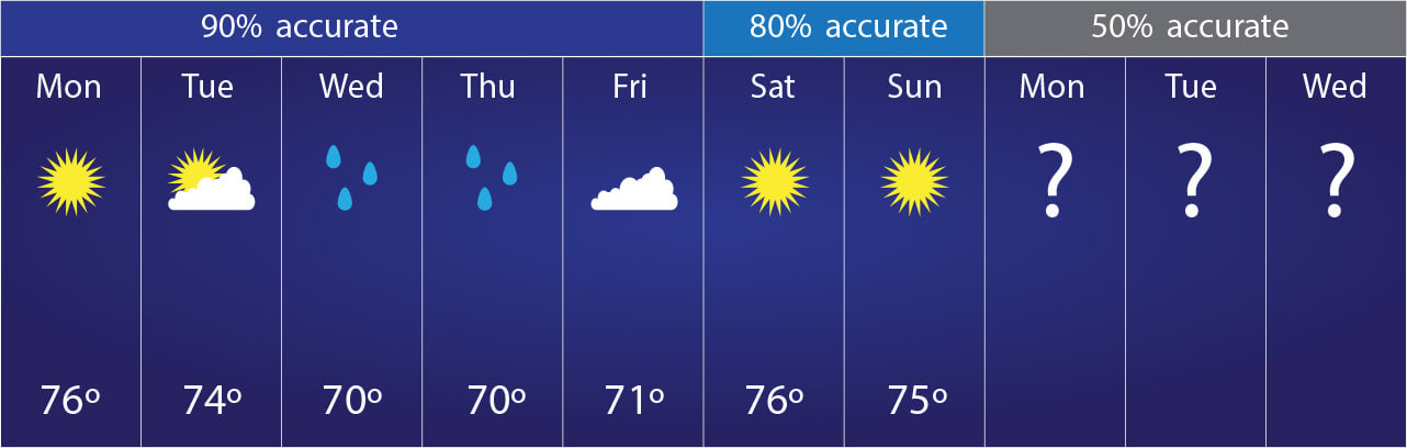
- How far in advance should I check mountain weather? Start monitoring 7 days out, with increased focus 48 hours before your hike. This allows you to get a general overview of the potential weather patterns and trends. Then, within 48 hours, you can refine your forecast and make more accurate predictions. Remember, weather forecasts are not always accurate, so it's important to stay vigilant and monitor conditions throughout your hike.
- What's the most reliable weather prediction tool? Combining satellite data with local weather station reports provides the most reliable forecast. Satellite imagery offers a broad perspective of weather systems, while local stations provide real-time data on temperature, wind speed, and precipitation. Cross-referencing these sources can help you identify potential discrepancies and make more informed decisions.
- How do I identify dangerous weather patterns? Watch for rapid barometric changes and specific cloud formations. A rapid drop in barometric pressure is a strong indicator of an approaching storm. Specific cloud formations, such as towering cumulonimbus clouds, can also indicate potential thunderstorms. Pay attention to these signs and be prepared to take action if necessary.
- When should I turn back? At the first signs of severe weather or if conditions exceed your experience level. Never push your limits or take unnecessary risks. If you're unsure about the weather conditions or your ability to handle them, it's always best to turn back. Remember, the summit is never worth risking your life.
- What's the most important weather tool to carry? A reliable barometer with altitude adjustment capabilities is essential. A barometer measures atmospheric pressure, which can indicate approaching storms. Altitude adjustment is crucial for accurate readings at different elevations. Make sure your barometer is properly calibrated and that you know how to use it effectively.
Additional Resources
Weather Education
- Mountain meteorology: Probe deeper into the science of mountain weather and learn how to interpret complex weather patterns.
- Storm prediction: Develop the ability to predict storms and take appropriate safety measures.
- Risk assessment: Learn how to assess the risks associated with different weather conditions and make informed decisions.
Safety Training
- Weather response: Learn how to respond to different weather emergencies, such as thunderstorms, high winds, and heavy snow.
- Emergency procedures: Familiarize yourself with emergency procedures and be prepared to take action if necessary.
- Equipment use: Learn how to use your weather and safety equipment effectively and efficiently.
Remember: Mountain weather demands respect and preparation. Always prioritize safety over summit goals and maintain constant awareness of changing conditions. As we navigate these majestic landscapes, let's also remember the words of Proverbs 3:5-6: "Trust in the Lord with all your heart and lean not on your own understanding; in all your ways submit to him, and he will make your paths straight."
In closing, mastering high-altitude weather prediction is not just about safety; it's about enhancing your entire mountain experience. By understanding the forces at play, you can appreciate the beauty and power of nature while minimizing risks. Stay safe, stay informed, and enjoy the incredible world around us.