article
Western Wildfire Weather 2026: Snowpack, Drought, Wind, and the Forecast Signals That Matter
A long-tail wildfire-weather article on 2026 Western fire risk, snowpack melt, drought, wind events, lightning, smoke, and local preparedness.

Wildfire weather is not decided by one hot day; it builds through snowpack, spring moisture, fuel curing, lightning, wind, and heat waves.
This guide answers a very specific search question: what weather signals matter most for western wildfire risk in 2026. It is written for Western homeowners, hikers, campers, public-land visitors, smoke-sensitive households, and anyone watching drought and fire outlook headlines, so the emphasis is practical: what to check, what to ignore, and when to change plans before the weather becomes a problem. Learn more in Southern California Drought 2026: Water, Wildfire, and Weather Signals to Track.
Seasonal fire outlooks from agencies such as NIFC are valuable because they connect fuels and weather. A wet spring can grow grasses that later cure, while a dry spring can leave fine fuels ready sooner. Snowpack timing matters because mountain moisture does not protect lower-elevation grasses forever.
For daily users, the most actionable fire-weather signals are the ones that change behavior: red flag warnings, dry lightning risk, wind shifts, smoke forecasts, and local evacuation readiness.
Quick Answer
Western fire risk evolves as fuels dry and then becomes acute when wind, heat, low humidity, or lightning arrive. The fastest way to apply that idea is to compare the headline forecast with the smaller signals that control your actual exposure. A daily icon is a starting point, not the decision.
For most readers, the useful workflow is simple: check the official local forecast, scan the hourly details, identify the one hazard that can break your plan, and choose a backup before the forecast window becomes urgent. That habit turns weather from a vague worry into a manageable planning input.
Why This Forecast Niche Matters

Niche weather questions matter because people rarely experience weather as a regional average. You experience it in a bedroom, on a sports field, on a specific bridge, in a valley, at a venue, or in a neighborhood that drains poorly. Wildfire weather is not decided by one hot day; it builds through snowpack, spring moisture, fuel curing, lightning, wind, and heat waves.
That is why broad forecast summaries can feel wrong even when meteorologists did their job. The public forecast may describe the air mass correctly while missing the exact surface, building, slope, road, or schedule that controls your risk. The goal is not to outguess the forecast. The goal is to read the part of the forecast that matches your exposure.
The Weather Setup Behind the Problem
Snowpack and melt timing
Start with snowpack and melt timing. Snow protects higher elevations until it melts, but lower fuels may dry earlier.
Drought category
Drought category is one of the first details to check. Persistent drought stresses vegetation and water supply.
Fine fuel growth
Do not treat fine fuel growth as background noise. Wet periods can grow grasses that later become flashy fuels.
Heat waves
For this topic, heat waves often separates a routine day from a day that needs a plan. Heat accelerates drying and increases energy demand.
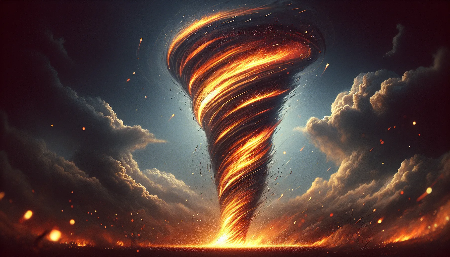
Wind events
The forecast detail most people skip is wind events. Strong winds can turn a small ignition into a fast-moving incident.
Lightning patterns
Use lightning patterns to translate "what weather signals matter most for western wildfire risk in 2026" into a practical decision. Dry thunderstorms can create multiple starts across remote terrain.
A 72-Hour Planning Workflow
The best weather decisions usually start before the final forecast is perfect. At 72 hours, you are not looking for certainty. You are looking for the main scenario, the plausible failure mode, and the cost of waiting.
- Follow monthly fire outlooks for seasonal context and local alerts for action.
- Clear defensible space before the first red flag pattern, not during it.
- Build smoke plans with filtration and medication needs before regional fires start.
- Check campground, trail, and forest restrictions before travel.
- Watch dry lightning forecasts after long dry spells.
- Keep go bags, documents, and animal plans ready in communities with evacuation risk.
How to Read the Hourly Forecast
Open the hourly forecast and find the period that overlaps your real decision. For what weather signals matter most for western wildfire risk in 2026, the daily summary can hide the most important part of the day. The relevant hour may be overnight, during school pickup, at ceremony time, near a commute, or just after a front passes.
Read the variables in pairs. Temperature plus dew point explains comfort better than temperature alone. Wind speed plus gusts explains exposure better than a single wind number. Rain chance plus rainfall rate explains disruption better than a droplet icon. Cloud cover plus wind direction can explain why one neighborhood stays gray while another clears.
Then ask whether the forecast is describing a gradual hazard or a threshold hazard. Gradual hazards build through the day and give you chances to adjust. Threshold hazards can flip the plan quickly: lightning close enough to hear, water over a road, wind strong enough to make a tent unsafe, or smoke mixing to the surface.
Local Clues That Confirm the Forecast
Local clues matter because official observations are often several miles away from the exact place where you feel the weather. These signs do not replace the forecast, but they help you decide whether the atmosphere around you is behaving as expected.
- Grasses turn from green to straw-colored.
- Afternoon humidity drops into very dry ranges.
- Lightning appears with little rain reaching the ground.
- Local agencies increase restrictions.
- Smoke arrives from distant fires before any local flame is visible.
Common Mistakes
- Assuming snow in the mountains means no lower-elevation fire risk.
- Treating a wet spring as automatically safe for late summer.
- Ignoring grass fuels because forests get more attention.
- Waiting for smoke before preparing evacuation items.
- Using a statewide headline instead of local fuel and wind conditions.
What to Watch Next

NIFC outlooks connect fuel dryness, wind patterns, lightning, and seasonal precipitation trends to significant wildland fire potential. Use it as background context, then rely on your local forecast and warnings for timing.
NWS wildfire guidance helps explain red flag warnings, wind, low humidity, and fuels in plain language. Use it as background context, then rely on your local forecast and warnings for timing. Learn more in Red Flag Warning Meaning: Wind, Humidity, and Fuels Explained Without Jargon.
AirNow guidance explains how smoke can affect air quality and why surface observations can differ from smoke seen aloft. Use it as background context, then rely on your local forecast and warnings for timing.
If the source is a seasonal or climate product, use it to frame the background risk. If the source is a safety page, use it to define action thresholds. For day-to-day timing, check the National Weather Service point forecast, local watches and warnings, radar, and nearby observations.
Related OpticWeather Guides
- Dry Lightning Wildfire Risk: How Thunderstorms Can Start Fires Without Helpful Rain
- Smoke Aloft vs Surface Air Quality: Why the Sky Looks Hazy When the AQI Seems Fine
- How to Read Weather Forecast
- Forecast Interpretation and Accuracy
- Weather Safety and Preparedness
Frequently Asked Questions
Is this the same as the regular weather forecast?
No. The regular forecast gives the broad expected conditions. This guide explains how to interpret those conditions for a narrow decision where timing, exposure, and local details matter.
Which forecast number should I check first?
Start with the number that most directly controls the hazard. For this topic, that means the signals listed above, especially snowpack and melt timing and drought category. After that, check the hourly timing and any official alerts.
Why do weather apps disagree on this?
Apps can use different models, update schedules, icons, and thresholds. One app may smooth a local hazard into a broad daily summary while another highlights the risky hour. When the stakes are high, compare the app with official forecasts and observations.
When should I stop waiting for a clearer forecast?
Stop waiting when the cost of delay becomes higher than the cost of preparing. If rentals, travel, safety equipment, vulnerable people, animals, or outdoor crews are involved, set a decision deadline before the forecast window arrives.